Resilient Landscapes.
Empowered Neighbors.
Protecting what matters—for generations to come
Our Impact
Every acre, grant, dollar, and project moves us closer to a fire-adapted and safer Napa County
Acres
Treated
in
Active Grants
Distributed to Residents
Projects Funded

Building Wildfire Resistance Across Napa County
We’re making measurable strides in wildfire mitigation, treating miles of fuel breaks, critical evacuation routes, and restoring landscapes. Your support expands these proven protections across Napa County before the next fire starts.
Current Fuel Reduction Projects
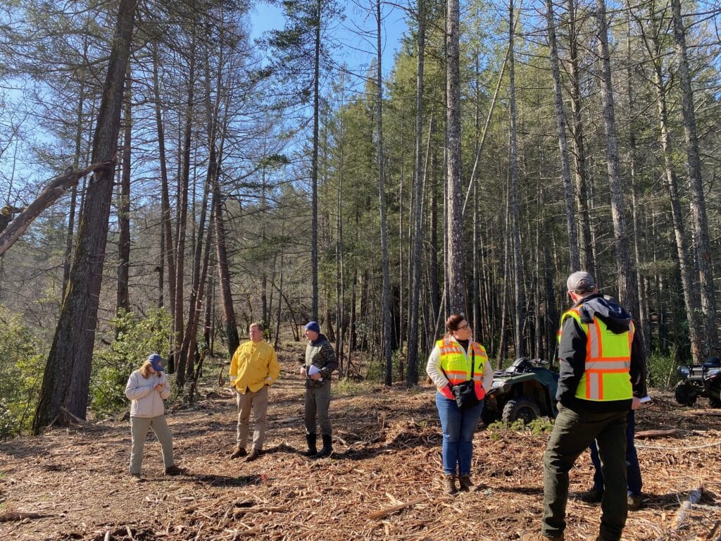
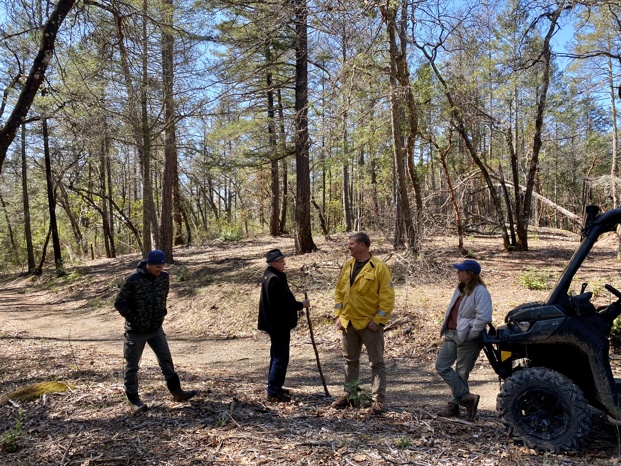
Every project we lead represents a coordinated effort to safeguard Napa County. Developed in partnership with CAL FIRE, Napa County Fire, and local Fire Safe Councils, these contract and grant-funded initiatives prioritize community protection, ecological health, and strategic wildfire mitigation.
-

Reducing Hazardous Fuels along Critical County Borders
Funded by: CAL FIRE Across Borderlines: Sonoma-Napa Project is a Model of Cooperation On a ridge high above Napa Valley, the morning air carries the scent of pine, oak and freshly cut…
-
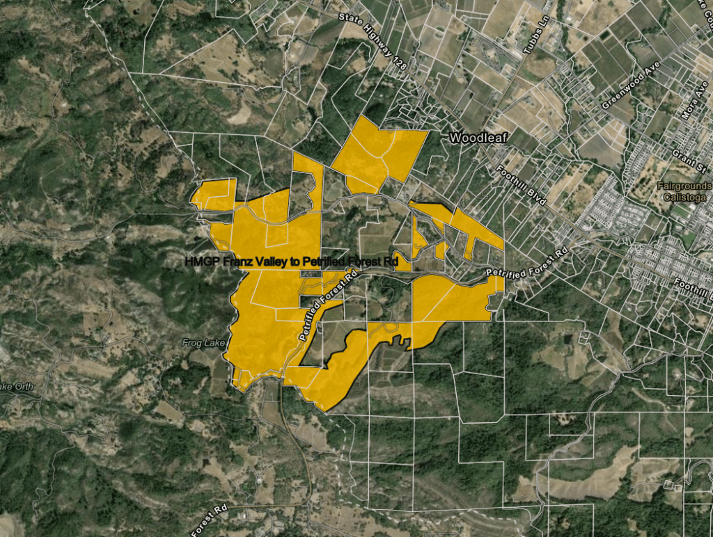
Tubbs/Glass Fire Complex Fuel Mitigation Project
Whose project Napa County — recipient of the FEMA HMGP grant; Napa Firewise has been selected through competitive RFP process. Where Tubbs & Glass Fire…
-
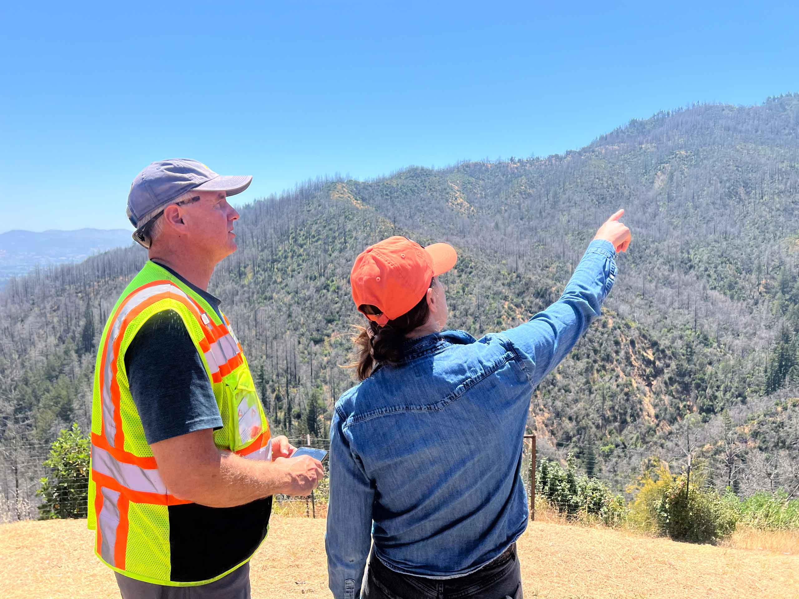
Napa’s Howell Mountain Corridor: Forest Ecotone and Fire Resiliency Restoration
March 2026
The forest above Angwin hasn’t seen fire in nearly a century. This CAL FIRE-funded project is changing that — restoring one of Napa County’s most…
Resident Programs Available
Learn how you can keep you home and neighbors safer from wildfire
Napa Firewise has improved and added to the fire break road system on my family ranch, making my family and the greater community safer and reachable during a wildfire.
I was literally in tears viewing these improvements on my beautiful property. You have my eternal gratitude. Thank you for your tremendous efforts to keep our community safer.
Camille H., Napa Resident
Frequently Asked Questions
Get answers to common questions about wildfire preparedness in Napa County, from defensible space and home hardening to community wildfire resilience.

Stay Informed
Sign up for our newsletter and stay up to date with programs, opportunities and tips on how to help keep Napa County safer from the threat of Wildfire